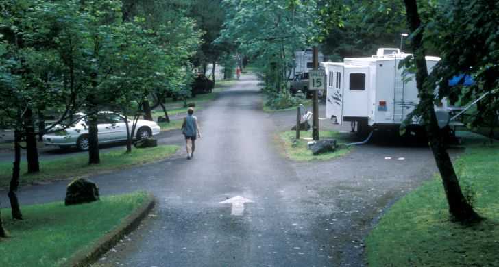
The excitement begins where the pavement ends in Troutdale!

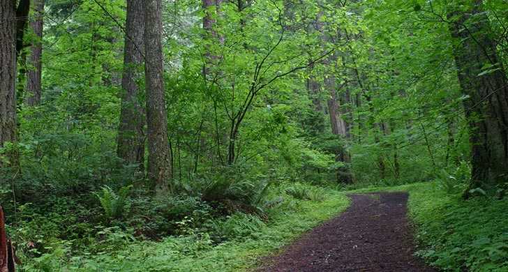
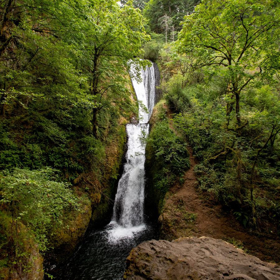
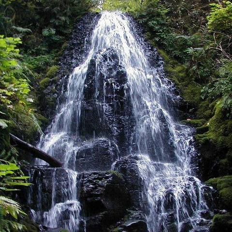
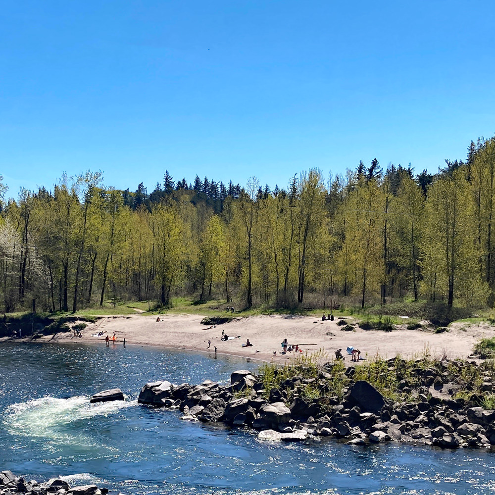
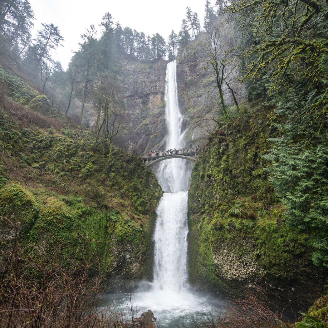
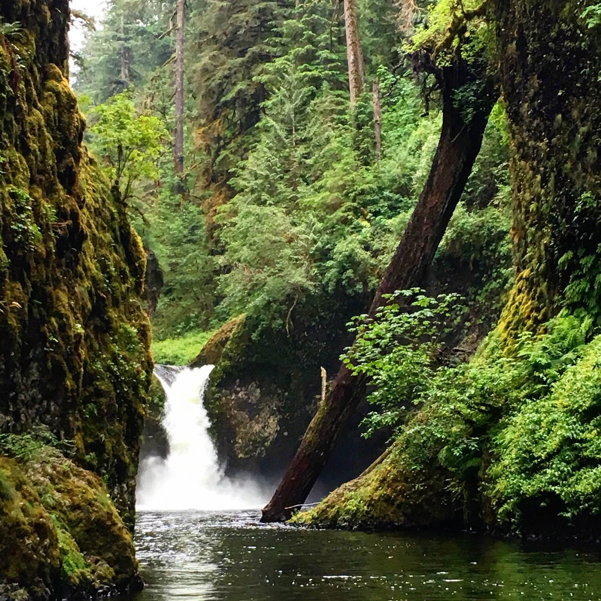
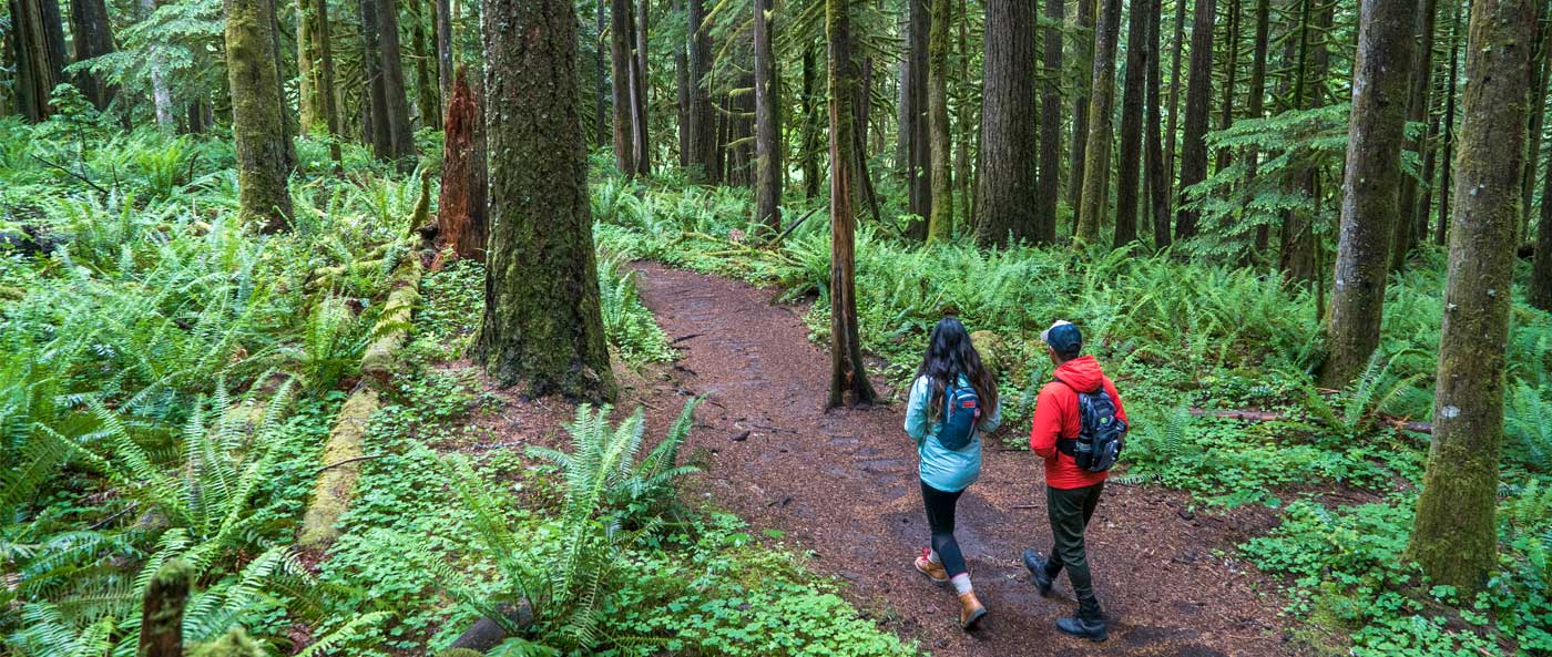
So much can be said about touring The Gorge by automobile or shuttle service. Yet the fantastic hidden treasures of the region can best be found off I-84. Whether by foot, horse, bike or ATV, visitors can learn so much about Troutdale and The Gorge in a quick morning jaunt to a multi-day excursion. For example, trails begin at Glenn Otto Park in Troutdale and extend through Beaver Creek Canyon, giving hikers a glimpse at the historic Harlow House and the former trout ponds from which Troutdale gets its name. The Sandy River Delta offers plenty of hiking options, including the 1.2-mile Confluence Bird Blind, where visitors can experience a bit of the Lewis & Clark Historic Trail. Those seeking more remote and lengthy options can begin with the Larch Mountain Trail.

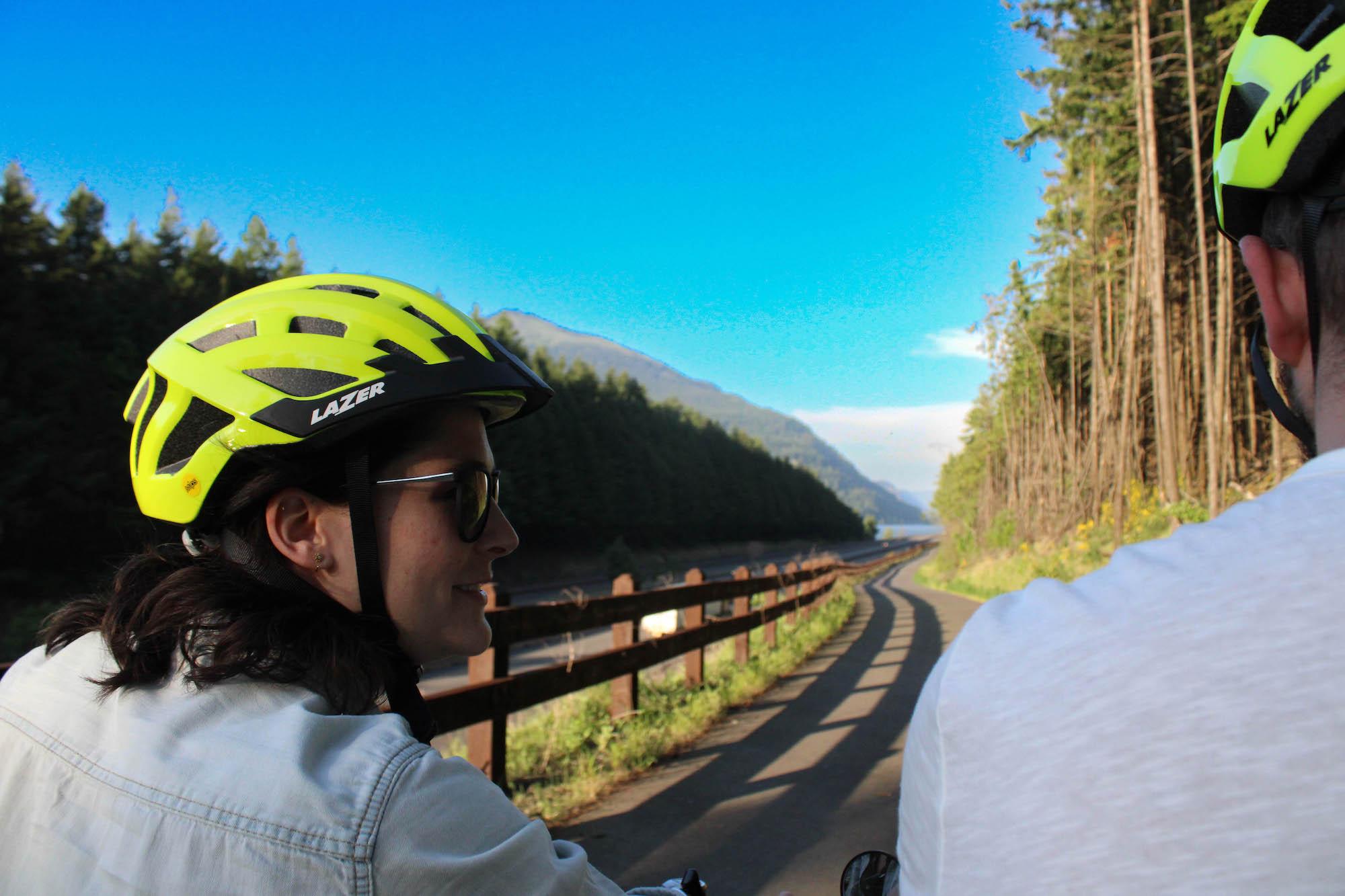
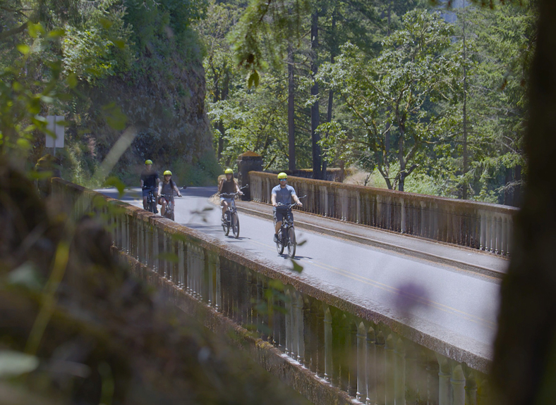
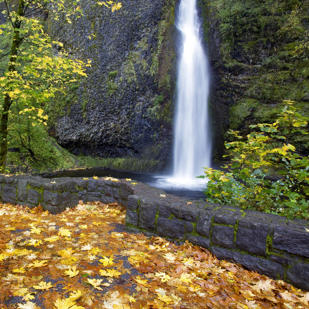
Cyclists will enjoy many popular options throughout The Gorge. Paved cyclists frequent the Historic Columbia River Highway State Trail, while mountain bikers typically head inland for a plethora of trails. The Mitchell Point Tunnel, currently under construction, will allow bicyclists and hikers the ability to ultimately travel between Troutdale and The Dalles.

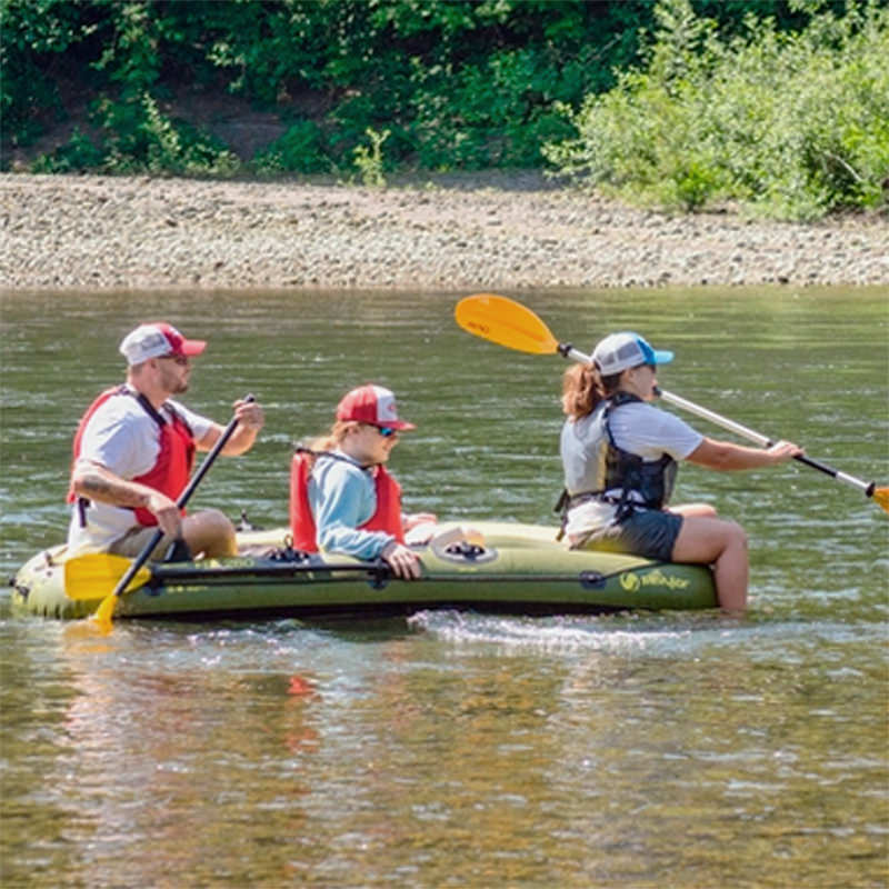
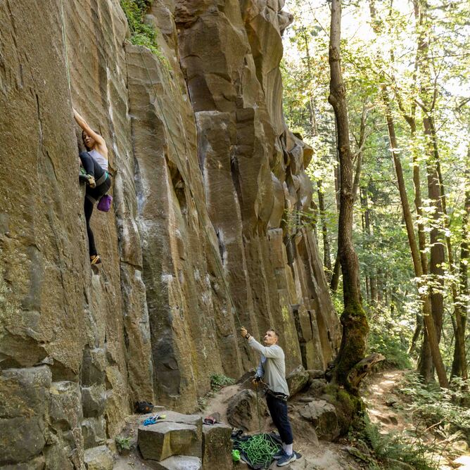
Yet hiking and cycling only begin to touch on the trail activities in the area. Other opportunities for backpacking, horseback riding, birding, and more include:

Plan Your Experience

OTIS Result
A steep and long hike, Angel's Rest rewards those who take the challenge. At the top of Angel's Rest are stunning views of the Columbia River Gorge. It's important to be careful while hiking; some of the trail winds around steep cliffs. The trail is open year round, but the best times to visit are April through October. Dogs are welcome, but must be on a leash.  Length - 4.5 miles Elevation Gain - 1,476...
 
Dabney State Park offers 138 acres of active and passive recreation on the outskirts of the Portland metropolitan area, and has been a popular swimming and picnic spot for over 50 years. Activities include fishing, boating, rafting, tubing, sun-tanning on the beach, picnicking, bird watching, and nature walks. Bicyclists frequently begin or end their trips on the Historic Columbia River Highway at Dabney. Fishermen like the deep turns and cobbled bottoms of...
 
OTIS Result
Enjoy a waterfall adventure with E-Bike Multnomah Falls. Skip the crowds and experience Multnomah Falls and the Columbia River Falls on an easy to ride e-bike. You'll meet your host at Guy W. Talbot State Park. E-Bike Multnomah Falls offers a Five Falls Tour, as well as half and full day tour options.
 
Fairy Falls
Take a break from your hike along Wahkeena Trail #420 at the bench near Fairy Falls along Wahkeena Creek 1.1 miles from the Wahkeena Falls Day Use/Picnic Area/Trailhead.Accessed by hiking only. Waterfall Height: 20-30 feet. Type: Fan.
 
Glenn Otto Park on the Sandy River
This 6.38 acre park with a swimming beach, riverfront access, picnic shelters, children's playground, open play area, restrooms, meeting hall, and caretaker. Access to the site is off East Historic Columbia River Highway.   The Sam Cox Great Room and the covered picnic areas can be reserved for parties, picnics, etc., and the Annex can be reserved for meetings, presentations or training, by contacting the Reservation line at 503-674-7297. Please note that alcohol and pets...
 
OTIS Result
Named for its characteristic form, Horsetail Falls plunges 176 feet within view of the Historic Columbia River Highway's "Waterfall Corridor." Just east of the falls is a great picnic spot to enjoy the beauty of the surrounding area. Take Horsetail Falls Trail #438 to Upper Horsetail Falls, also known as Ponytail Falls.  Height: 176 feet. Type: Horsetail.
 
Horsetail Falls Loop
Horsetail Falls is named for its characteristic form and plunges 176 feet. Enjoy a short hike to Upper Horsetail Falls, also called Ponytail Falls, where the trail goes behind the base of the Falls. Horsetail Falls is a great spot just to stop and enjoy the beauty of the surrounding area.
 
Multnomah Falls
Plummeting 620 feet, in two different sections, Multnomah Falls is the most-visited natural recreation site in the Pacific Northwest with more than 2 million visitors each year.  Fed by underground springs, the flow over the falls varies and is usually highest during the winter and spring months. Multnomah Falls offers one of the best places in the Columbia River Gorge National Scenic Area to study geology exposed by floods. Six flows of Grande Ronde Basalt...
 
OTIS Result
Oxbow Regional Park is a 1,000-acre natural area park located ten miles southeast of Troutdale along the Sandy River and is a perfect launch point for water-based activities in the majestic Sandy River Gorge. Hike 12 miles of trails: gentle grades along the river's terraces or steeper trails up a ridge between the river's bends. Parking fee per car or per bus (free with annual parking pass). Accessible picnic areas, campground restroom/shower buildings and some...
 
OTIS Result
Rare Earth Adventures provides outdoor guide services and educational courses in the Pacific Northwest. 
 
Spring at Rooster Rock is where spring fever happens. Imagine the first warm, sunny days of spring where meadows of wild roses and the spicy scent of Oregon grape combine with an endless panorama of the Cascade mountains, blue sky and the deep blue waters of the Columbia River. During the first sunny days of spring, people suddenly call in sick at work or school. That's when our parking lot fills up!   Summers and Rooster...
 
Nickie Bournias
This 1,500-acre natural area is a gateway from Portland to the Columbia River Gorge National Scenic Area that offers horseback riding, hiking, biking, wading, and fishing.  Acquired by the Forest Service in 1991, the delta is managed to restore and protect scenic, cultural, recreational, and natural resources in the river bottomlands where the Sandy River meets the Columbia River. The delta's forests and meadows have been under ecological restoration for decades, and in 2013, an old dike...
 
OTIS Result
Wahkeena Falls is day use area and trail situated at the base of beautiful Wahkeena Falls, just west of Multnomah Falls on the Historic Columbia River Highway. One of stops along the famed waterfall area on the Historic Highway, it connnects with a network of trails that make for great day hike loop opportunities, and world-class scenery. The 242-foot falls is a tiered type of waterfall, named after the Yakama word for "most beautiful". While not...
 
Wahkeena Falls
This fall along Wahkeena Creek can be seen from the Wahkeena picnic area across the Historic Highway. There are parking spaces at the picnic area. The Yakama Tribe word "wahkeena" means "most beautiful". Waterfall can be accessed by car or hiking. Height: 242 feet. Type: Tiered. See Wahkeena Falls Day Use/Picnic Area/Trailhead for more information.